Deconstructing the Shanghai Expo – Part II: The Effacement
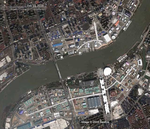
Google Earth imagery of the Expo site early in 2010 (move over with mouse to compare to May, 2004)
Before anyone gets too teary-eyed about the impending disappearance of most of Shanghai’s Expo 2010, they should spare a thought for what was there before the enormous 528 hectare site was largely wiped clean in readying the tabula rasa for all that cloying architectural play-time.
Despite the amount of greenwash that got thrown around, it hardly seems like the most sustainable thing in the world to wipe clean over 5 square kilometers of city for a 6 month event, and then have to start wiping most of it clean again. And as for so-called Urban Best Practices, the minimal amount of industrial heritage that was preserved hardly measures up to even the standards set by many adaptively-reused creative districts in Shanghai itself, let alone in so many other cities around the world.
Of course, the result will be the perfectly-sized (ie. huge), empty lots ready for high-density redevelopment that modern Chinese urbanism revolves around – not much new there.
We also shouldn’t forget the 18,000 households that were moved off the site to new housing elsewhere, although domestic media worked hard to remind us how much better and more wonderful all those people’s lives are now, thanks to the Expo!
Continue below to zoom in at some more detailed areas of the Expo site – Google hasn’t perfectly lined up the two sets of satellite imagery but they’re close enough.
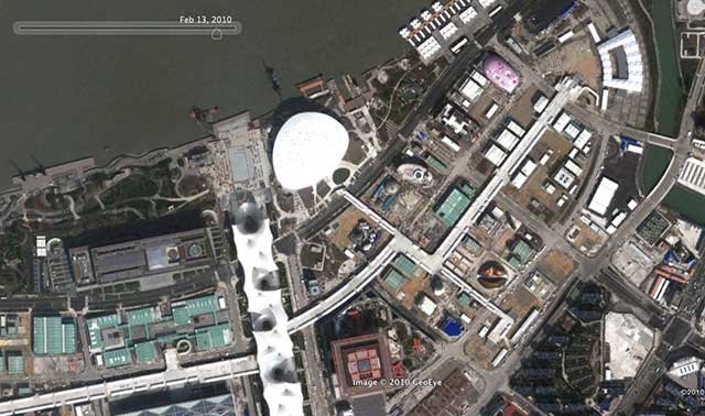
Detail of Main Axis and China Pavilion - Google Earth imagery of the Expo site early in 2010 (move over with mouse to compare to May, 2004)
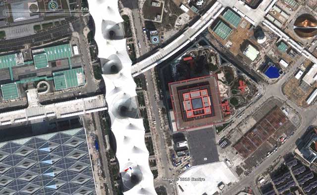
More detail of Main Axis and China Pavilion - Google Earth imagery of the Expo site early in 2010 (move over with mouse to compare to May, 2004)
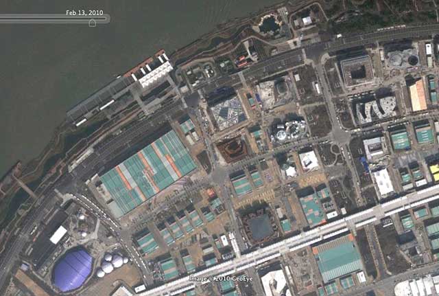
Detail of west end (Zone C) with European and African pavilions - Google Earth imagery of the Expo site early in 2010 (move over with mouse to compare to May, 2004)
Whoa there – that looks like a village, still thriving in the centre of Shanghai in 2004! Those even look like fields or market gardens! Isn’t that the kind of thing that designers are constantly proposing for the sustainable future, and here it was, sadly wiped away by the Expo. And what an interesting pattern it had… of course that had to be wiped away too, to be replaced by the giant big box of the Africa Joint Pavilion… oh well!
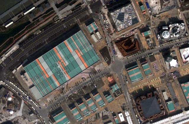
More detail of west end (Zone C) with European and African pavilions - Google Earth imagery of the Expo site early in 2010 (move over with mouse to compare to May, 2004)
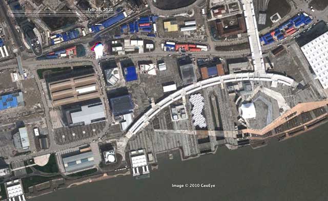
Detail of the Corporate pavilion area in Zone D - Google Earth imagery of the Expo site early in 2010 (move over with mouse to compare to May, 2004)
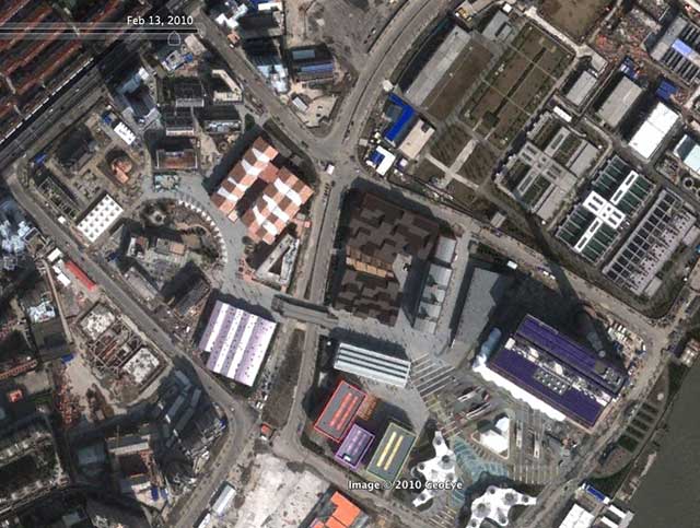
Detail of the Urban Best Practices Area in Zone E - Google Earth imagery of the Expo site early in 2010 (move over with mouse to compare to May, 2004)
In the Urban Best Practices Area you can see the most preserved buildings (albeit most of them heavily altered), but you can still see how fundamentally the pattern and texture of the fabric was altered for the purposes of the Expo.
If you haven’t seen it, don’t forget to check out Part I of Deconstructing the Expo: By The Numbers

1 Comment so far
Leave a comment
[…] relocated the 18,000 households. So when I came across Bricoleurbanism’s post on the (de)constructing the Expo I was very excited to see a satellite image comparisons of the site in 2004 and 2010. If you look […]
By Construction & Deconstruction of the Shanghai Expo | Encountering Urbanization on 02.22.11 10:29 pm
Leave a comment
Line and paragraph breaks automatic, e-mail address never displayed, HTML allowed:
<a href="" title=""> <abbr title=""> <acronym title=""> <b> <blockquote cite=""> <cite> <code> <del datetime=""> <em> <i> <q cite=""> <s> <strike> <strong>